The Energy Information Administration (EIA) is the U.S. federal government’s principal statistical and analytical agency for energy information. EIA collects, processes, and publishes data covering all aspects of energy—including production, consumption, imports and exports, prices, emissions, capacity, and forecasts—for sources such as oil, natural gas, coal, electricity, and renewables.
The EIA website provides access to interactive data tools, customizable tables, charts, maps, downloadable datasets, and analytical reports. EIA’s data and analysis are used by policymakers, industry stakeholders, researchers, journalists, and the public to understand energy markets, inform planning and investment decisions, monitor trends, and assess energy and environmental policy impacts.
U.S. EIA Data Tools, Apps, and Maps is a collection of interactive tools provided by the U.S. Energy Information Administration for exploring energy statistics. It includes customizable data interfaces, visualization apps, and maps covering energy production, consumption, prices, emissions, and infrastructure. These tools help users analyze trends, compare energy indicators, and support research and policy analysis.

EPA web app providing 500+ map layers and analysis tools to explore ecosystem services, environmental conditions, and demographics without needing GIS skills.

Geospatial tool originally developed by CEQ to identify “disadvantaged communities” using multiple climate, pollution, and socio-economic indicators; now mirrored by academic/grassroots hosts after federal access was removed.
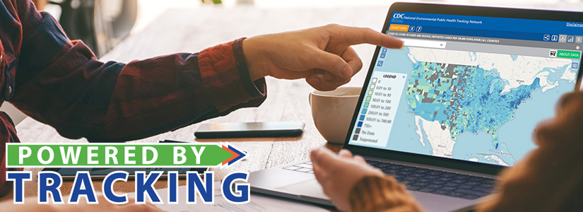
CDC program that integrates environmental and health data from national, state, and local sources, and exposes them via interactive dashboards, maps, and a Data Explorer
Research collaborative that documents changes to environment-related federal webpages and datasets, and maintains logs of modifications to public environmental information

DOE–funded initiative at NREL providing “data lakes” of open energy data, with thousands of datasets and examples for working with them.
Collaborative project building a public hub and data explorer for at-risk environmental data, with ongoing archiving, mapping of EJ grants, and guides to environmental data tools.
Climate Mirror is a distributed effort conducted by volunteers, in conjunction with efforts from institutions such as University of Pennsylvania, University of Toronto, and the Internet Archive, to mirror and back up U.S. Federal Climate Data. It started pre-emptively out of concerns based on President Trump's past anti-science statements, and has continued into his administration's time in office.
Data Refuge is a community-driven, collaborative project to preserve public climate and environmental data. When we document the many ways diverse communities use data, we can also advocate for future data. We want to hear your data stories!
The Environmental Data & Governance Initiative (EDGI) is a research collaborative and network of diverse professionals promoting evidence-based policy-making and public interest science that advances the Environmental Right-to-Know (ERTK).
We document, contextualize, and analyze current changes to environmental data and governance practices through multidisciplinary and cross-professional collaborative work; foster the stewardship and expansion of public knowledge through building participatory civic technologies and infrastructures; create new communities of practice to enable government and industry accountability; and promote models and tools that emphasize community participation at all scales, both within EDGI and in our public-facing tools.
We’ve all known data was important. Now it’s under threat. Fund a response so you can continue to rely on data for your work.
© 2025 - 2026 • All Rights Reserved